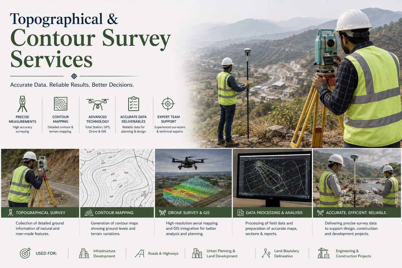
Accurate Surveying Solutions for Heritage, Infrastructure & Development Projects

Topographical & Contour Survey Services

SAGAR provides specialized topographical and contour survey services for protected monuments, archaeological sites, heritage landscapes, and infrastructure projects, delivering precise geospatial data to support planning, conservation, and sustainable development.

Service 08 — Overview

Topographical Survey

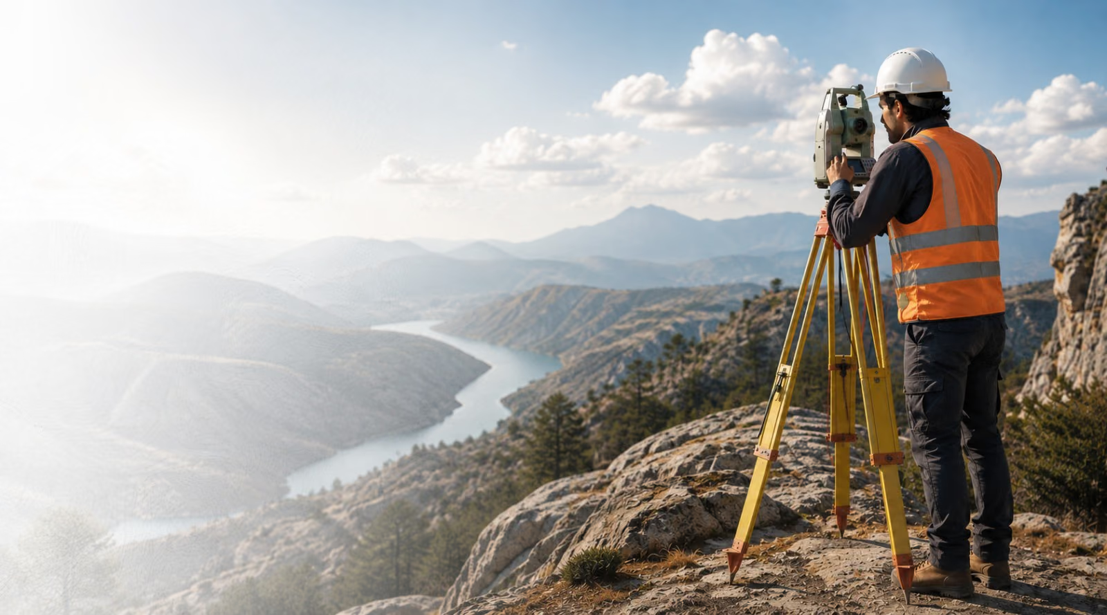
With over 16 years of experience, SAGAR specializes in topographical and contour surveys for centrally protected monuments, archaeological zones, regulated areas, and heritage sites across India. Using advanced surveying equipment and industry-standard methodologies, we provide accurate mapping, terrain analysis, and site documentation to support conservation, restoration, master planning, and infrastructure development.

Topographical & Contour Survey08

In Detail

Our Survey Services

01

Topographical Surveys

Comprehensive mapping of natural and man-made features, including existing structures, roads, vegetation, utilities, and surrounding landscapes to support master planning, site development, and heritage conservation.
02

Contour Surveys

Detailed elevation mapping and terrain modeling to assist in structural conservation, drainage planning, accessibility analysis, engineering design, and long-term site management.

Scope

Applications

Heritage Conservation ProjectsArchaeological Site PlanningMaster PlanningDetailed Project Reports (DPR)Infrastructure DevelopmentLandscape PlanningDrainage PlanningSite DevelopmentEngineering DesignRestoration ProjectsUrban PlanningProtected Monument Management

Process

Our Survey Process

  1. 01
    Site ReconnaissanceAn initial visit to the project site to understand its layout, terrain characteristics, accessibility, and existing features, helping plan the scope and approach for the survey.
  2. 02
    Field Survey & Data CollectionOn-ground data capture using instruments such as Total Stations, GPS/GNSS, and Drones (as applicable) to record precise elevation points, boundaries, and physical features across the site.
  3. 03
    Topographical MappingConversion of collected field data into a detailed topographical map, representing the natural and man-made features of the land with accurate spatial positioning.
  4. 04
    Contour GenerationCreation of contour lines at defined intervals to depict elevation changes and terrain profile, enabling clear visualization of slopes, gradients, and land formations.
  5. 05
    Terrain AnalysisInterpretation of the mapped data to assess drainage patterns, slope stability, cut-and-fill requirements, and suitability of the land for the intended project.
  6. 06
    Digital MappingProcessing of survey data into digital formats (CAD/GIS-compatible drawings) for easy integration with design, planning, and engineering workflows.
  7. 07
    Quality VerificationCross-checking of survey outputs against field data and control points to ensure accuracy, consistency, and compliance with required survey standards.
  8. 08
    Survey Drawings & ReportsPreparation of final deliverables — topographical plans, contour maps, and detailed survey reports — ready for use in design, planning, or regulatory submissions.

What We Offer

Why Choose SAGAR

  • 16+ Years of Survey Experience
  • Advanced Survey Equipment
  • High-Accuracy Geospatial Data
  • Experienced Survey Engineers
  • Heritage & Archaeological Expertise
  • Government Project Experience
  • Comprehensive Technical Documentation
  • Reliable & Timely Project Delivery

Track Record

Executed Projects

SAGAR has successfully executed topographical and contour survey projects for the Archaeological Survey of India and other government organizations.

Archaeological Survey of India (Jaipur Circle)

Topographical Survey of Neelkanth Shiva Temple

Alwar, Rajasthan

Archaeological Survey of India (Jaipur Circle)

Topographical Survey of Bayana Fort

Bharatpur, Rajasthan

Need Accurate Survey Data?

Partner with SAGAR for reliable topographical and contour survey services that support heritage conservation, infrastructure planning, and sustainable site development.

Contact Our Survey Team
Call Now